|
|
||||||||||||||
|
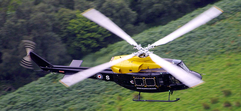
Photo Chris Chambers |
||||||||||||||
| Salisbury Plain | ||||||||||||||
At over 94,000 acres ( roughly 25 miles by 10 miles) Salisbury plain is the UK's largest dedicated Army training area. About 25,400 acres are permanently closed to the public for safety reasons – Larkhill and Westdown artillery impact areas, and Warminster live firing area. During the past 35 years, over 9 million large-calibre rounds have been fired on Salisbury Plain Training Area, and live firing takes place on an average of 340 days a year. ATE SP offers live firing and other facilities for armoured vehicles, artillery, engineers, infantry and aircraft. The newest facility is the ‘village’ on Copehill Down used to train for operations in built-up areas. Aircraft from all three Services use this airspace both by day and night,Although aircraft activity can be sporadic the area is frequently used by helicopters from AAC Middle Wallop as it forms part of their Dedicated User Area (DUA). The plain is a series of flat and rolling hills and as such there is little chance of getting above the fast jets flying down at 250ft. The area does however offer ideal opportunities to photograph rotary movements with a number of landing grounds used by almost all types of helicopter within the UK's armed forces. Salisbury plain is also frequently used for exercises such as Eagles Strike - keep an eye on the NOTAMs for advance warning. Being an active military area, there are a few important considerations.... Do not enter areas where there is an obvious military presence:
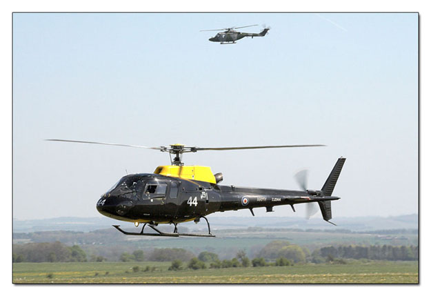
Squirrel over Deptford Down whilst a Lynx waits its turn photo Karl Drage Deptford Down
http://www.multimap.com/map/browse.cgi?scale=25000&icon=x&lat=%2051.1753&lon=-01.9692&mapsize=big A small strip close to a byway, Deptford Down offers easy viewing of the helicopter activity. Here Helicopter crews will practice ground cushion work amongst other tasks meaning they may be on station for a lengthy period. Trees to the left of the strip are used by Apaches to screen themselves before approaching and can make ideal backdrops to your images. Typically a lens in the range of 100-300 will be sufficient for this area, although often something wider maybe of use.
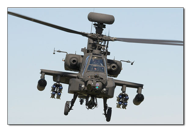
AAC Apache from Deptford Down Photo Karl Drage Everleigh Drop Zone
browse.cgi-lat=51.2824&lon=-1.7059&scale=100000&icon=x Although primarily a Drop Zone (DZ) Everleigh offers ample viewing opportunities when helicopters are in the area. as with other viewing locations on Salisbury plain, you are advised to stick to the footpaths as venturing away could have potentially lethal consequences.
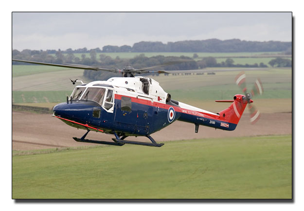
Lynx from Boscombe Down at Everliegh Photo Neil Dunridge
|
||||||||||||||
|
Written and compiled by Chris Chambers
|
||||||||||||||
|
Warplane.co.uk does not accept any liability for the accuracy of the information contained within this site. Information is provided for reference only and you should ensure you have permission to enter any private land and are suitably prepared for the location you are visiting, including clothing and emergency provisions. |